Explainer | Why was Hong Kong pelted with torrential rain on Saturday and is global warming to blame?
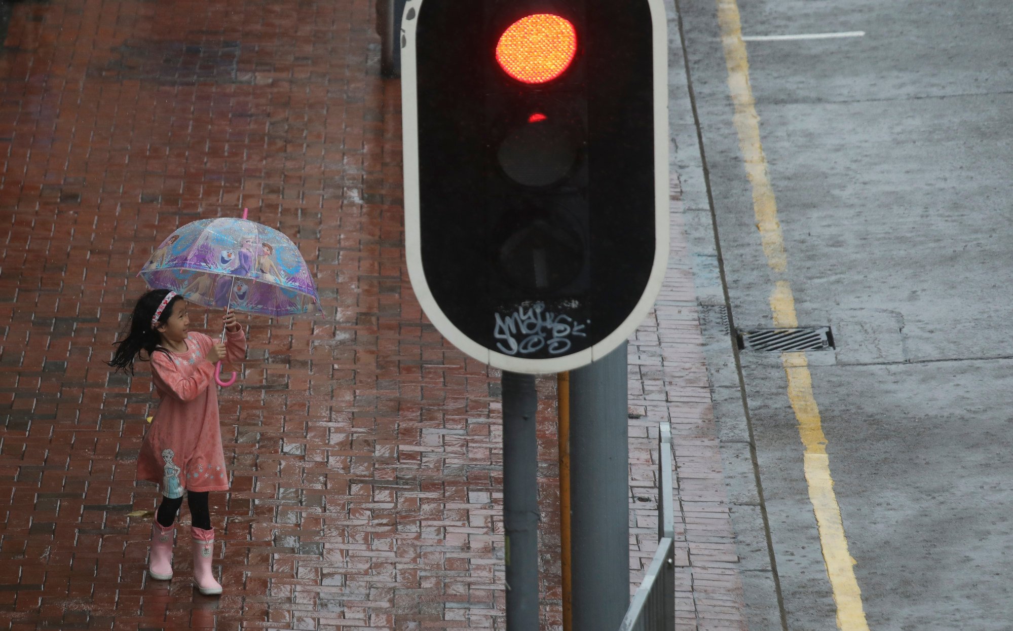
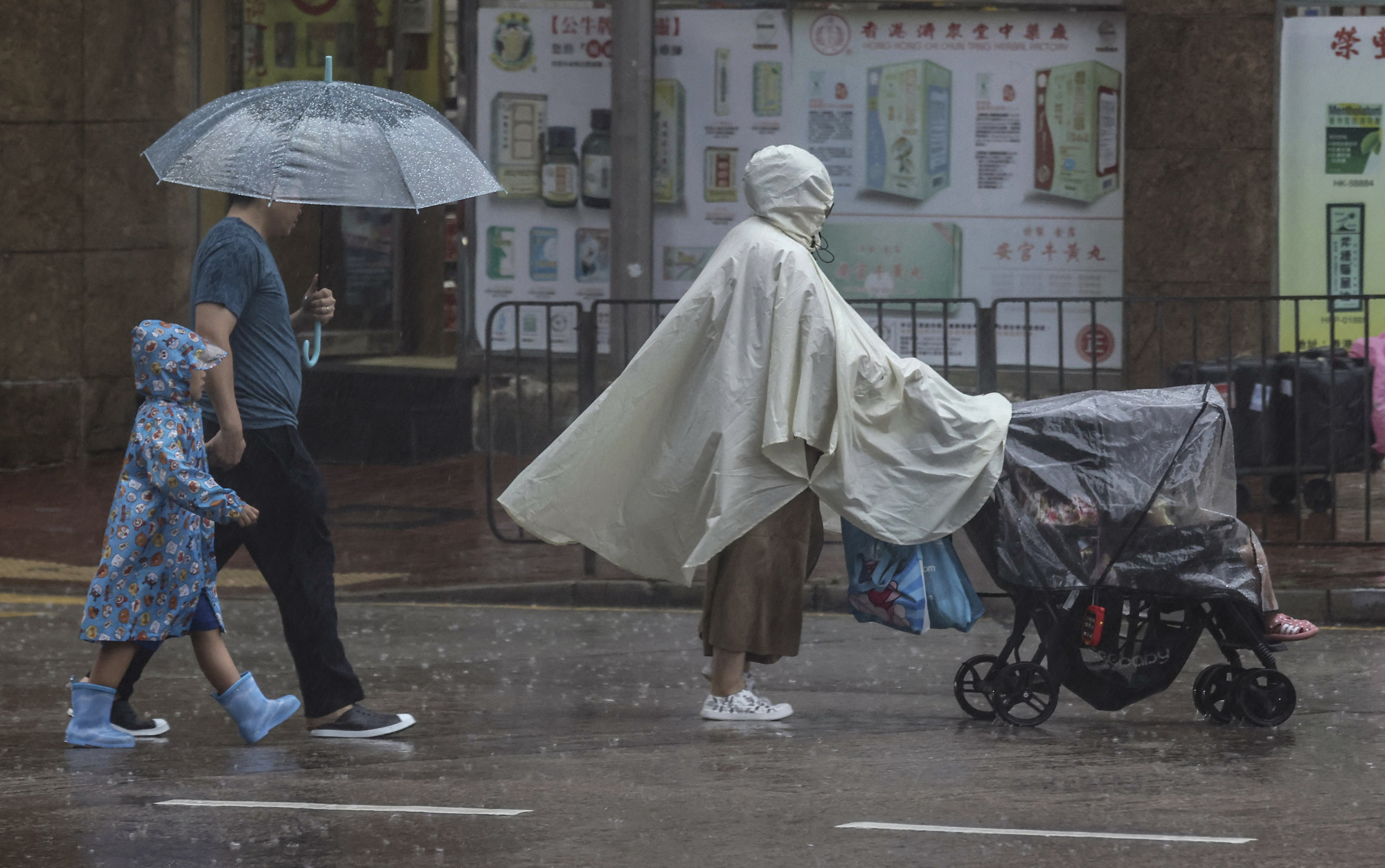
Hong Kong was hit on Saturday with intense rain and flooding in areas including Tseung Kwan O, Shau Kei Wan and Clear Water Bay, creating scenes that reminded some residents of the “once-in-500-years” storm that struck the city last September.
The Observatory said that by 4pm, an accumulated 400mm of rainfall had been recorded in parts of Tseung Kwan O, and more than 200mm had fallen in the eastern part of the city.
The Post spoke to the Observatory’s current and former meteorologists to better understand what is happening with the weather.

1. Is Saturday’s rainstorm an extreme event?
The Observatory said Saturday’s rainstorm was mainly triggered by a trough of low pressure and upper-air disturbances in the region. The weather system brought heavy showers and squally thunderstorms to the vicinity of the Pearl River Delta, it added.
Lee Tsz-cheung, a senior scientific officer at the Observatory, said the rainfall on Saturday was uncommon and fell in an “extremely uneven” way.
He attributed the varying precipitation in different parts of the city to the low speed at which the rain clouds moved.
Leung Wing Mo, a former assistant director of the Observatory, said it was unusual to record more than 200mm of rainfall in a day in May.
He said that although he was “not 100 per cent sure” whether Saturday’s rainfall was a direct result of climate change, the occurrence of such an event was expected to be more frequent due to global warming.

2. When has Hong Kong recorded more-than-usual rainfall in May?
Official statistics show that Hong Kong was hit with 520mm of rain on May 30, 1889, followed by 324mm on May 8, 1992. The city also recorded 273mm of rain on May 24, 2017.

3. Why did the rainstorm come so abruptly?
Leung said current meteorological technologies could only predict whether the overall weather pattern was favourable for heavy rainfall.
“The Observatory can predict which weather system may cause heavy rain,” he said. “But with current technology, it is impossible to predict when the rainstorm will come, how heavy it will be and where it will occur.
“If yesterday’s forecast said there might be heavy showers today, it would only be a general summary of today’s situation.”
Leung said the Observatory’s rainstorm signals already provided the public with real-time weather information.
“The Observatory issued an amber rainstorm warning before it started to rain heavily,” he noted. “And as the rain intensified, the warning level was raised to red. The issuance of such signals has achieved the goal of nowcasting.”
The red rainstorm warning was in effect from 8.55am to 3.50pm before being lowered to an amber signal.

4. What about the rest of the country?
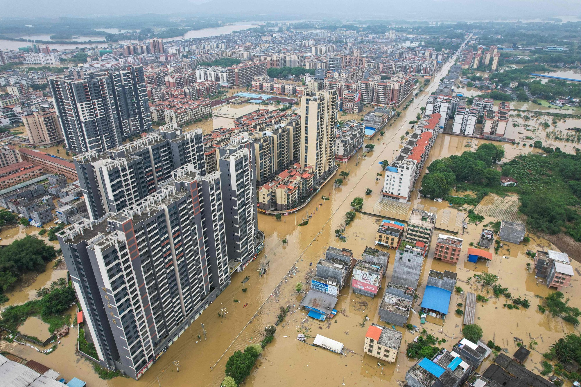
Since mid-April, southern China has been affected by a trough of low pressure, upper-altitude disturbances and divergences, resulting in rainstorms that have lasted for days.
Statistics show that as of April 25, rainfall in many areas of Guangdong province broke local records for the month of April, with the cumulative rainfall in the city of Shaoguan reaching four times normal levels.
In Hong Kong, April was also wetter than normal, with the total rainfall exceeding the average value by 68 per cent. The convective weather that affected Guangdong also caused waterspouts in Clear Water Bay, hail in Yuen Long and 110km/h gusts in Tai O.
The Observatory said rising global temperatures increased the amount of water vapour in the atmosphere and sped up the rain cycle, thus increasing the chance of heavy rainfall.

5. What should you do in preparation for the unstable weather?
The latest weather forecast showed that the rainfall would start to subside on Sunday and give way to bright and hot weather on Monday and Tuesday.
However, an easterly airflow will reach the coast of southern China on Wednesday, bringing showers and strong winds along the coast.
The Observatory reminded the public to pay attention to the latest weather forecasts before planning outdoor activities and going out.
Leung said two-hour forecasts were available on the Observatory’s mobile app.


