
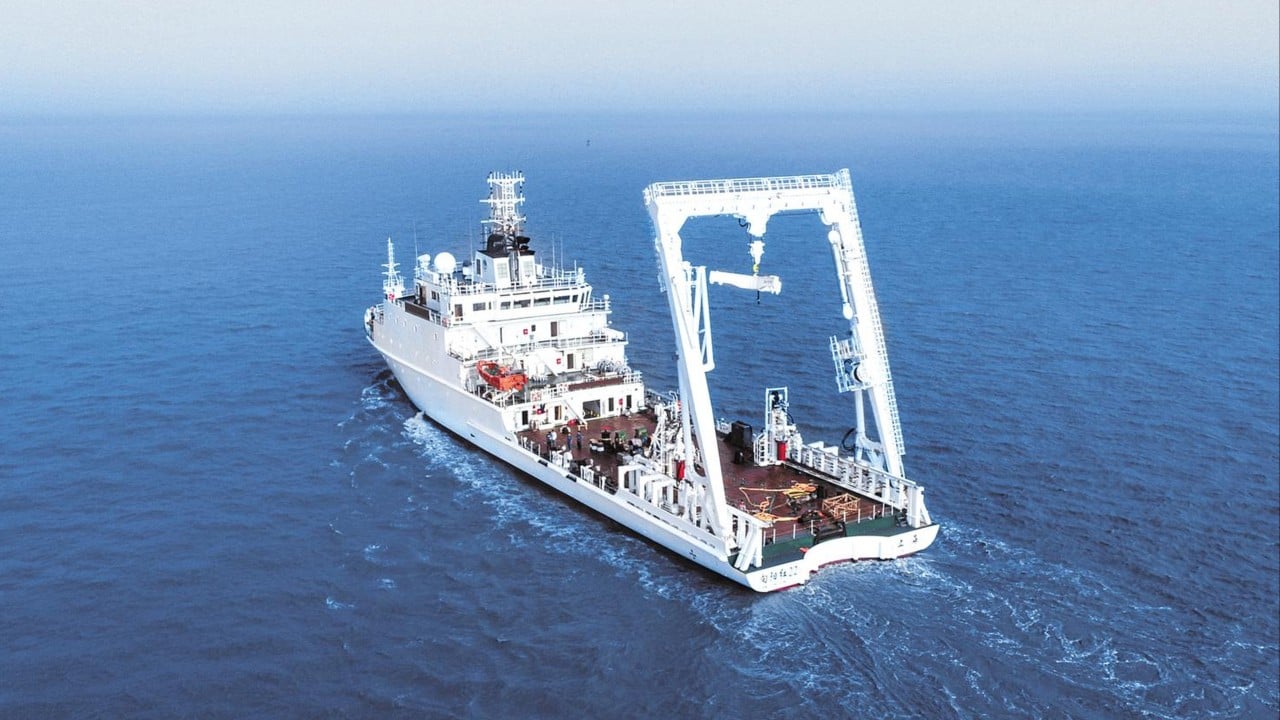
When a mainland Chinese research vessel spent three days last month conducting an oceanographic survey in the Philippine Sea east of Taiwan, state media portrayed the mission as another example of Beijing’s expanding civilian maritime governance.
However, experts highlighted the dual-use nature of oceanographic data, pointing out that the information gathered by the Xiang Yang Hong 22 from June 16 to 18 could have military applications, particularly in underwater operations.
Routine oceanographic surveys collect information on seawater temperature, salinity, currents and seabed topography – data that is indispensable for marine science.
Yet that same information could also improve underwater acoustic models used in submarine operations, anti-submarine warfare and the planning of undersea infrastructure such as cables and pipelines, they pointed out.
According to James Holmes, a maritime strategist at the US Naval War College, such missions should be viewed as inherently dual-use. He noted that similar surveys years ago by the United States generated friction with Chinese vessels in the South China Sea.
“Water is a complex medium for submarine and anti-submarine operations,” he said. “Variations in pressure, temperature and salinity tend to refract sound and layers can form beneath which submarines can hide.”