
Published: 9:43pm, 16 Aug 2025Updated: 10:48pm, 16 Aug 2025
This story has been made freely available as a public service to our readers. Please consider supporting SCMP’s journalism by subscribing. New users who download our updated app get a seven-day free trial.
Advertisement
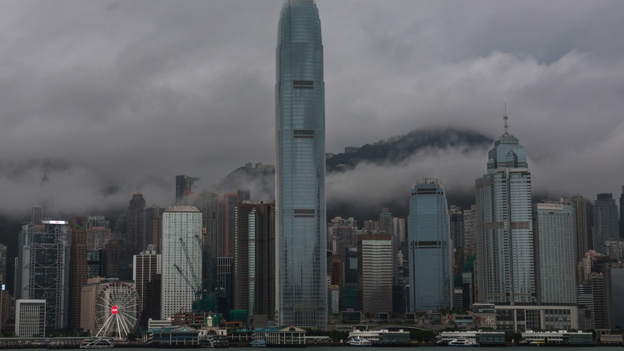
The Hong Kong Observatory issued the No 1 typhoon signal at 10.20pm on Saturday night, with higher warnings possible on Sunday as the city faced occasional squally showers and thunderstorms.
The weather forecaster said an area of low pressure over the central and northern parts of South China Sea had intensified into a tropical depression.
“Under the combined effect of the tropical depression and the ridge of high pressure over southeastern China, local winds will strengthen tomorrow,” a spokesman said.
The Observatory said it might upgrade the warning signal on Sunday morning.
Advertisement
Rainbands associated with the low pressure area have affected the coast of Guangdong province. As the area moves north, it is expected to bring occasional squally showers and thunderstorms to the city.