
Published: 7:17am, 24 Sep 2025Updated: 7:53am, 24 Sep 2025
This story has been made freely available as a public service to our readers. Please consider supporting SCMP’s journalism by subscribing now for 50 per cent off during our two-day flash sale.
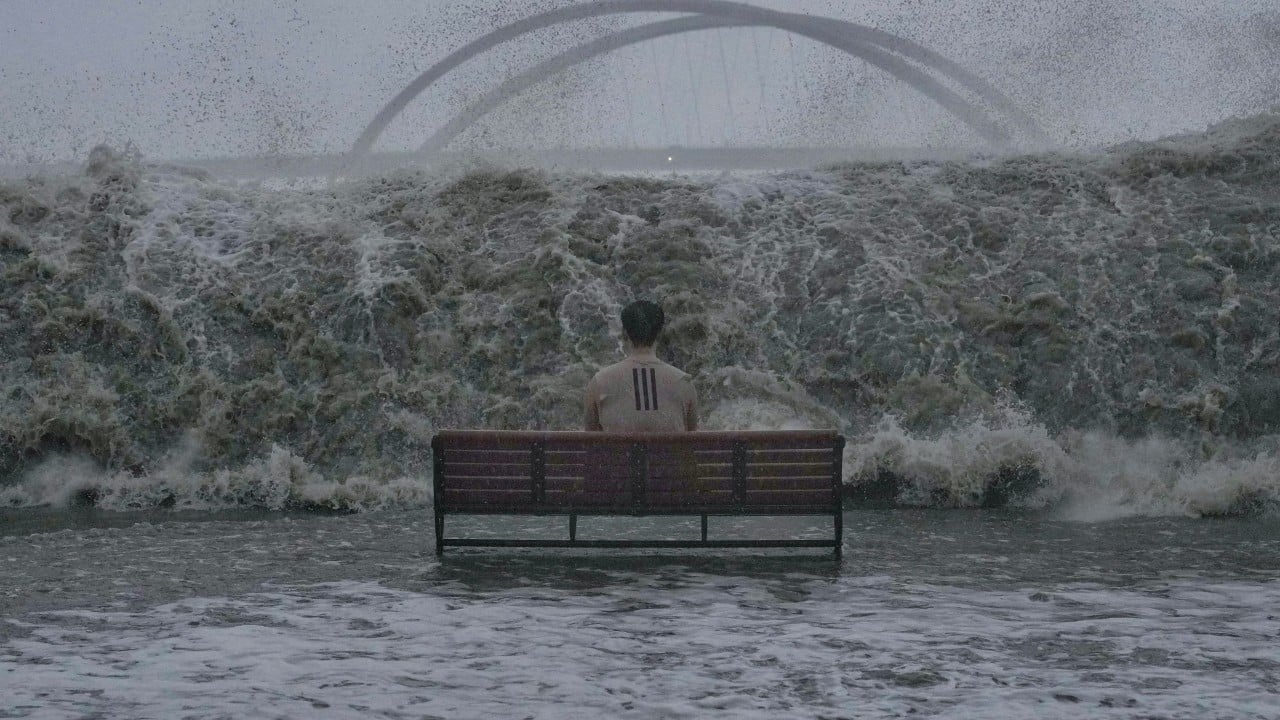
Hong Kong has woken up to a downpour triggered by the highest-level No 10 warning, which shut down the city, as Super Typhoon Ragasa edges as close as 100km (62 miles) south of the city.
The weather forecaster, which upgraded the No 9 signal issued at 1.40am to the hurricane warning an hour later, has said Ragasa will be closest to the city between 6am and 9am on Wednesday.
The weather has deteriorated rapidly overnight, with winds strengthening quickly and reaching hurricane force offshore and on high ground at first.
The Observatory also warns of frequent heavy squally showers, large waves crashing along the shoreline, and a significant rise in water levels. It has urged residents to stay indoors.
Pre-emptive preparations are put in place across the city in response to the super typhoon, with about 600 flights cancelled on Tuesday and limited cargo freight operating on Wednesday. All classes have been suspended for two days since Tuesday.
Follow the Post’s live coverage as Ragasa lashes Hong Kong, and check out our old blog here.
Reporting by Oscar Liu, Lo Hoi-ying, Danny Mok, Jeffie Lam and Wynna Wong
More from our coverage:
–Hong Kong could incur millions in building repairs from Ragasa damage: experts
–Hong Kong shopkeepers prepare for Ragasa; 100 households evacuated from Tai O
–As Super Typhoon Ragasa approaches, here are Hong Kong’s biggest storms