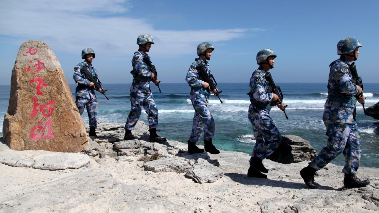
China released a new map for its southernmost city of Sansha as the country works to consolidate its control over the strategically important waters of the South China Sea.
Advertisement
The city comprises two disputed island chains – the Paracels and the Spratlys, known respectively as the Xisha and Nansha Islands in Chinese – and an undersea atoll.
The Ministry of Natural Resources on Sunday released an updated map of the city showing labels for the districts of Xisha and Nansha, which were established in 2020 but did not appear on previous maps.
Sansha, part of the southern island province of Hainan, was established in 2012 to assert China’s claims to the resource-rich South China Sea.
The Ministry of Civil Affairs has also assigned administrative region identifiers to the two districts. These codes are used to identify places for census and administrative purposes and typically appear as the first six digits on identity cards of residents born and registered in an area.
Separately, China Post announced on Sunday that postcodes had been granted to the city’s Nansha district, while three inhabited islands in Xisha district – Woody Island, Tree Island and Jinqing Island – would continue to use their respective codes.
Advertisement


