
Published: 8:47am, 14 Jun 2025Updated: 12:52pm, 14 Jun 2025
This story has been made freely available as a public service to our readers. Please consider supporting SCMP’s journalism by subscribing. New users who download our updated app get a seven-day free trial.
Advertisement
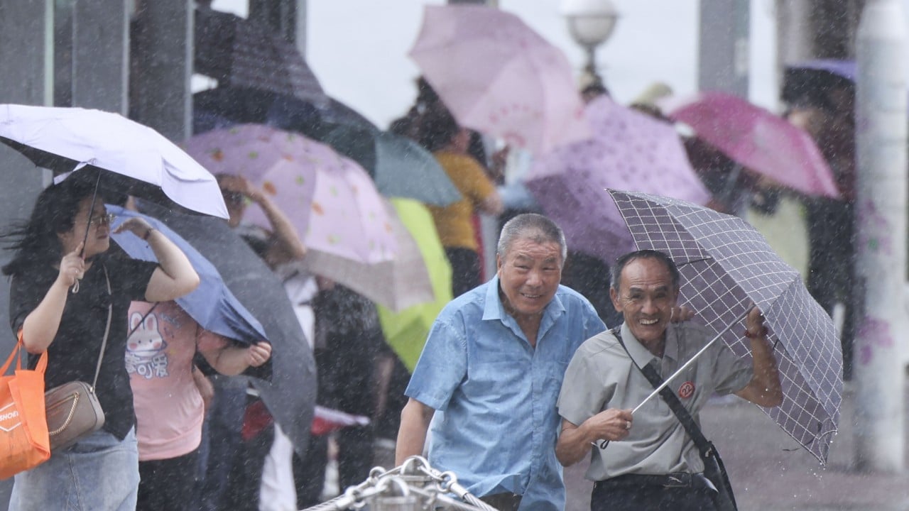
Hong Kong’s weather forecaster has issued the No 3 typhoon warning signal, as strong winds from a severe tropical storm are intensifying.
The Hong Kong Observatory raised the alert at 12.20pm on Saturday as Severe Tropical Storm Wutip entered within 800km (497 miles) of the city. It is expected to make landfall later in the day.
Wutip, the Cantonese word for “butterfly”, is the first typhoon to hit Hong Kong this year. The previous one was Man-yi, which intensified into a super typhoon and was recorded in November last year.

According to the forecast, Wutip will skirt around 300km to the northwest of Hong Kong on Sunday morning. The No 3 signal will remain in force at least until noon on Sunday.
Advertisement
“Its outer circulation brought squally showers to the coast of Guangdong. Wutip is expected to make landfall over Leizhou Peninsula [on Saturday]. It will then move across the vicinity of the boundary of Guangdong-Guangxi,” the Observatory said.