New Zealand has been hit by storms rated as being a threat to life, as Wellington experiences destructive gale-force winds reaching 140 km/h, sending debris flying and uprooting trees.
MetService, the government’s forecasting agency, warns that power lines and roofs are at risk, and that “dangerous driving conditions and significant disruptions to power supply” are likely.
In an unusual move, MetService issued a “red warning,” at 10 a.m. on May 1, 2025. This is the highest alert level and means there is a danger to life.
The warning will remain in place until 3 a.m. on May 2.
Wellington Braces for Power Outages
Residents have been urged to act immediately to protect themselves, their animals, and property….
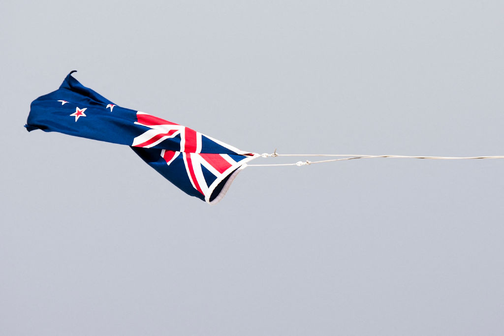
New Zealand Hit by Life-Threatening Storms