
Published: 12:01pm, 28 Jul 2025Updated: 5:32pm, 28 Jul 2025
The first steps towards China’s plans for a mega dam in the Himalayas were taken more than seven decades ago.
Advertisement
In 1951, the Chinese government established the first scientific expedition to the Qinghai-Tibet Plateau. More than 50 researchers, equipped with barometers, compasses and other basic instruments, accompanied the army on their pioneering quest.
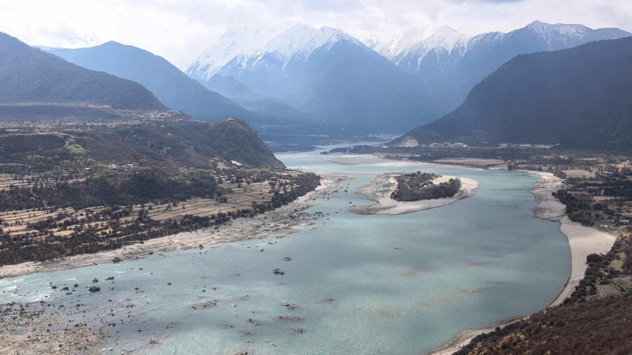
It took them nearly three years to complete the expedition from the Jinsha River in the east to Mount Everest in the west, and to the Yarlung Tsangpo River in southern Tibet.
They compiled a geological survey, highlighting key mining areas along the route, complemented by the collection of scientific data on soil, meteorology, hydrology, agriculture, language and history.
01:19
China breaks ground on world’s largest hydropower dam in Tibet
China breaks ground on world’s largest hydropower dam in Tibet
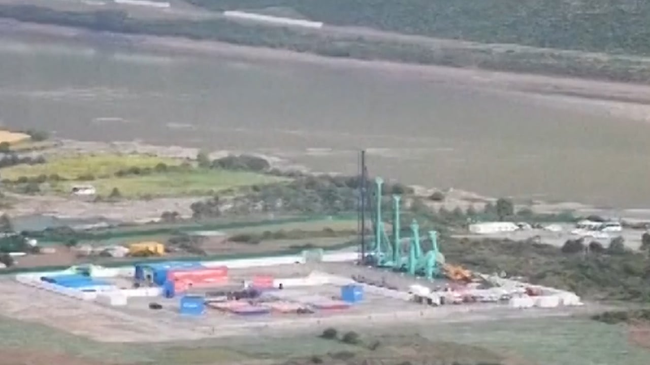
This marked the beginning of plans for the Yarlung Tsangpo dam. The project marked another milestone on July 19 when Premier Li Qiang announced the launch of the river’s downstream hydropower project during its groundbreaking ceremony in the Tibetan city of Nyingchi.
Advertisement