
Published: 6:32pm, 23 Sep 2025Updated: 7:01pm, 23 Sep 2025
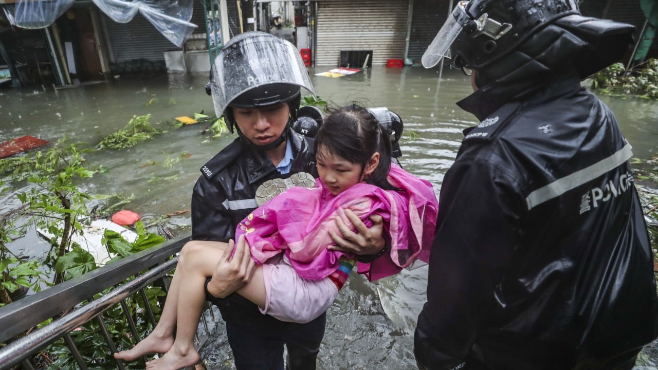
Super Typhoon Ragasa could be even stronger than previous ones that hit Hong Kong, with the “king of storms” taking a “worryingly similar” path to Hato and Mangkhut and falling into a “dangerous semicircle” as it skirts the south of the city, meteorologists have warned.
Advertisement
With a projected path resembling that of the super typhoons that struck the city in 2017 and 2018, respectively, Ragasa presents a significant threat and could bring even more violent winds to Hong Kong, they noted.
Dubbed the “king of storms” by the China Meteorological Administration, Ragasa is expected to be the most powerful typhoon to make landfall in the country this year.
The Hong Kong Observatory issued the No 8 warning signal at 2.20pm on Tuesday, as Ragasa approached from around 380km (236 miles) southeast of the city. The forecaster said it would reassess and potentially raise the warning to a higher level between 11pm and 3am the next day, depending on the storm’s progression.
Experts warned that Ragasa’s likely route, skirting south of the city, could lead to very severe consequences for Hong Kong.
Advertisement
Clarence Fong Chi-kong, an independent forecaster and founder of the website Weather Underground of Hong Kong, said: “Its current predicted path, passing to the south of Hong Kong, is considered one of the most dangerous for the city and the wider Pearl River Delta region.”