
Published: 1:09pm, 2 Oct 2025Updated: 1:41pm, 2 Oct 2025
This story has been made freely available as a public service to our readers. Please consider supporting SCMP’s journalism by subscribing.
Advertisement
Hong Kong’s weather forecaster will consider issuing the No 1 typhoon warning signal on Friday night as a tropical storm moves across the Philippines and enters the South China Sea.
The Hong Kong Observatory said on Thursday that Tropical Storm Matmo was centred about 610km (380 miles) east of Manila at noon and was moving west-northwest at about 22km/h (13.7mph) towards the vicinity of Luzon, continuing to intensify.
“[Matmo] will move across Luzon and enter the central and northern parts of the South China Sea. It will then move in the general direction of the vicinity of the coast of western Guangdong to the eastern part of Hainan Island. However, its intensity remains uncertain,” the forecaster said.
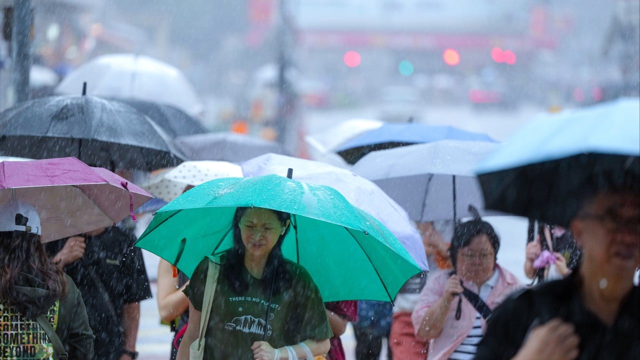
“Under its influence, it will be windy with squally showers over the coast of southern China during the weekend.”
Advertisement
It also said that an anticyclone aloft would bring generally fine and very hot weather to southern China on Friday.