
Published: 9:21am, 20 Sep 2025Updated: 9:24am, 20 Sep 2025
This story has been made freely available as a public service to our readers. Please consider supporting SCMP’s journalism by subscribing. Hong Kong readers now get 50 per cent off their first year of subscription until September 21, 2025.
Advertisement
Hong Kong Observatory lowered the typhoon signal to No 1 on Saturday morning as tropical depression Mitag moved away from the city but the weather could worsen next week with the potential arrival of Ragasa, which is expected to intensify into a super typhoon.
The Observatory at 9.20am lowered the typhoon warning to No 1 standby signal from the previous No 3 strong wind signal, which was issued on Friday morning.
“In the past few hours, Mitag skirted 100 km north of Hong Kong. It is departing gradually,” the weather forecaster said.
At 9am, Mitag was estimated to be about 130 kilometres north-northwest of Hong Kong. It is expected to move west-northwest slowly across the vicinity of the northern part of the Pearl River Estuary.
Advertisement
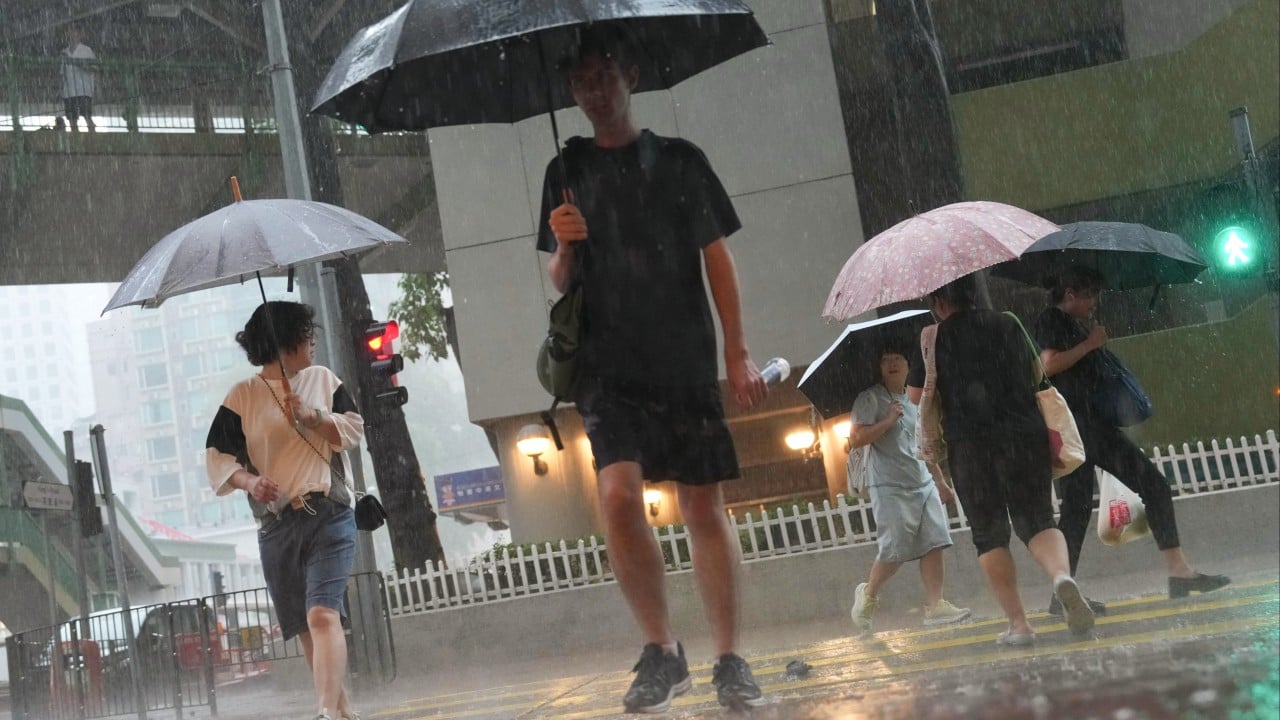
But weather in Hong Kong is expected to remain unstable, as rainbands associated with Mitag are bringing squally showers and thunderstorms. Showers will be heavy at times.