
When the United States’ twin GRACE satellites spotted an anomaly southeast of India while mapping the oceans, Chinese researchers spotted an opportunity.
Advertisement
Over a relatively flat seabed thousands of metres deep, Nasa detected a spike in gravity readings and then put that data online, free for all to use.
Chinese oceanographers who saw the data decided to find out more. In 2022, they loaded the Shiyan 6 vessel, one of the world’s most advanced research ships, with cutting-edge equipment and sailed more than 12,000 nautical miles.
01:32
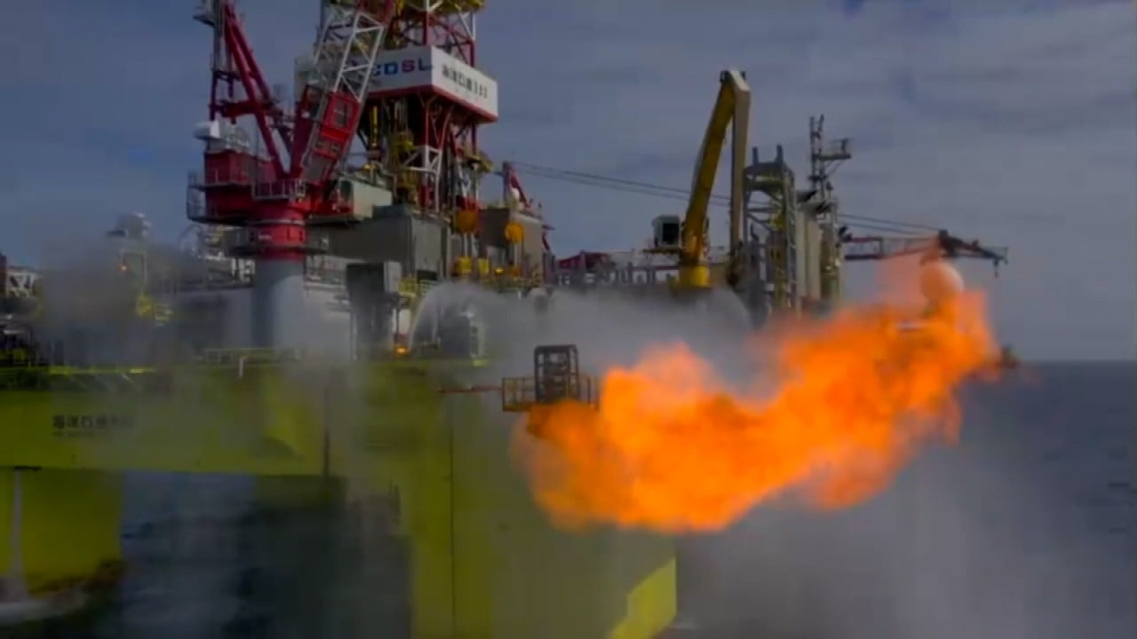
China confirms discovery of major natural gas field in South China Sea
China confirms discovery of major natural gas field in South China Sea
The ship’s US-made DGS advanced marine gravimeter measured gravity’s pull every second, with precision as high as 0.01 milligal, a measure of gravitational acceleration.
The trip confirmed what they had suspected: thickened crust beneath the Indian Ocean’s Ninety East Ridge.
Dense rock in some seemingly flat areas along the ridge – which spans 5,600km and is the longest on Earth – is 5km (3.1 miles) thicker than normal.
Advertisement
That thickness matters. Where the crust swells, minerals – copper, nickel, cobalt, manganese, rare earths – rise as magma pushes them up from the deep.
The Chinese researchers marked the spots, potentially saving them years of searching and millions of dollars.