
The year was 2015, and New York University professor Debra Laefer sat at her desk in Brooklyn reviewing yet another stack of research papers on remote sensing. As she scanned the authors’ affiliations, she paused – the same journals that once overflowed with names from American universities and Nasa labs had begun to publish discoveries from Beijing, Wuhan and Shanghai.
Advertisement
Over the next few years, the drips became a wave – and then a tsunami.
Back in the 1990s, the United States dominated remote sensing just as Silicon Valley dominates software today – producing nearly 90 per cent of all research in the field, while papers from China were virtually nonexistent.
But by 2023, China accounted for close to half of all remote sensing papers published globally, while the US share had shrunk to under 10 per cent.
The shift represents one of the most significant recent changes in global technological leadership, according to Laefer, a professor at the NYU Tandon School of Engineering and a faculty member at the university’s Centre for Urban Science + Progress. She published her findings in the journal Geomatics on September 12.
Advertisement
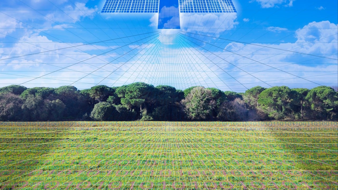
Remote sensing technology is the science of collecting information remotely through techniques such as laser scanning, imaging and hyperspectral imaging from ground, aerial, and even space platforms. It supports a range of critical applications, from autonomous driving to climate monitoring and national security.