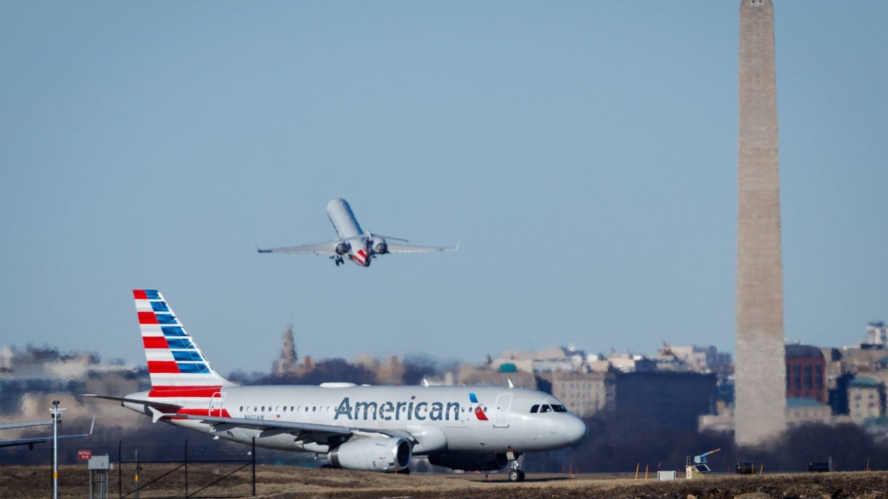
Preliminary data from the deadliest US aviation accident in nearly 25 years showed conflicting readings about the altitudes of an airliner and Army helicopter when they collided near Reagan National Airport in Washington, according to investigators.
Advertisement
Data from the jet’s flight recorder showed its altitude as 325 feet (99 metres), plus or minus 25 feet (7.6 metres), when the crash happened on Wednesday night, killing everyone aboard both aircraft. Data in the control tower, though, showed the Black Hawk helicopter at 200 feet (61 metres) at the time, National Transportation Safety Board officials told reporters.
The roughly 100-foot (30-metre) discrepancy has yet to be explained.
Investigators hope to reconcile the altitude differences with data from the helicopter’s black box, which is taking more time to retrieve because it was waterlogged. They also said they plan to refine the tower data, which can be less reliable.
“That’s what our job is, to figure that out,” said NTSB member Todd Inman, who grew increasingly agitated with reporters’ questions seeking more information and clarity about the readings during a Saturday evening news conference.

He acknowledged that there was dissension within the investigative team about whether to release the information or wait until they had more data.

