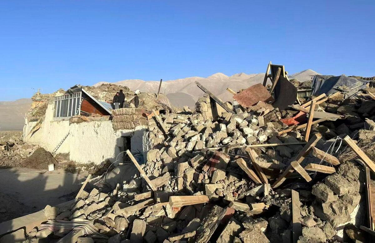
Three of the five reservoirs have been emptied, which a hydrologist says indicates serious problems.
Cracks have been detected on five hydropower dams out of 14 in Tibet that have been inspected by Chinese authorities since a 6.8-magnitude earthquake hit the area on Jan. 7, killing at least 126 people.
Three out of the five affected dams have since been emptied, a Tibet emergency management official said at a press conference on Jan. 16. A hydrology expert said that it indicates the problem is very serious.
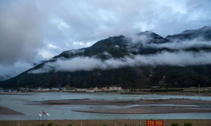
The Chinese regime’s official report only names two reservoirs that have been emptied: the Cuoguo Reservoir in Cuoguo Township in Tingri County with a capacity of 580,000 cubic meters; and the Laang Reservoir, located in Changsuo Township in Tingri County, with a storage capacity of 450,000 cubic meters.
Tingri was the epicenter of the earthquake. Chinese authorities reported that the magnitude of the earthquake was 6.8, and the earthquake intensity reached 9 out of 10. A monitoring agency in the United States detected that the magnitude of the earthquake in Tibet was 7.1.
The walls of one hydropower dam have tilted after the earthquake, causing about 1,500 people from six villages downstream of the reservoir to be evacuated to higher ground and far away from the river, according to officials.
Sixty high-density electrical geophysical monitors have been installed on the dam of Cuoguo Reservoir in Tingri County for real-time monitoring while it’s being drained, and canals have been excavated to direct the water, according to the official report.
The Chinese communist regime has tightly controlled information about the Tibet earthquake, its devastation, and the disaster relief situation. Authorities have now chosen to reveal information about the five cracked dams and three drained reservoirs.
Wang Weiluo, a Germany-based renowned hydrologist, told The Epoch Times that this shows that the problem is very serious, as “draining the reservoir is the last resort to prevent a major disaster after a dam collapses.”
“Most reservoirs in Tibet are mainly used to irrigate farmland. If they drain the reservoirs now, there will be no water when sowing starts in spring,” he said.
The Chinese regime has built more than 120 dams in Tibet, an active seismic zone, while dozens more are currently being planned, according to public data.
Wang said that he had not seen any evidence that the Chinese regime had conducted any scientific risk assessment before building such dams in Tibet, where earthquakes hit often.
Most of the dams in Tibet are for irrigation, with the aim of changing the way of life of the Tibetan people, making them settle down like the Han Chinese people and rely on agriculture for a living, instead of their traditional nomadic way of life, according to Wang.
“But in fact, nomadism is the best way to adapt to the local environment in Tibet and the best way to protect the ecological environment,” he said.

Wang said that earthquakes happen often in Tibet, and the magnitude of the earthquakes is usually high.
“Most of the victims were killed by the collapsed houses in the earthquake this time. If Tibetans still kept their nomadic way of life, living in tents, would the tents collapse and crush people to death?” he asked.
Several dams on major rivers in Tibet are also for generating hydropower, not only to meet local needs, but also to supply power to other places in China, Wang said.
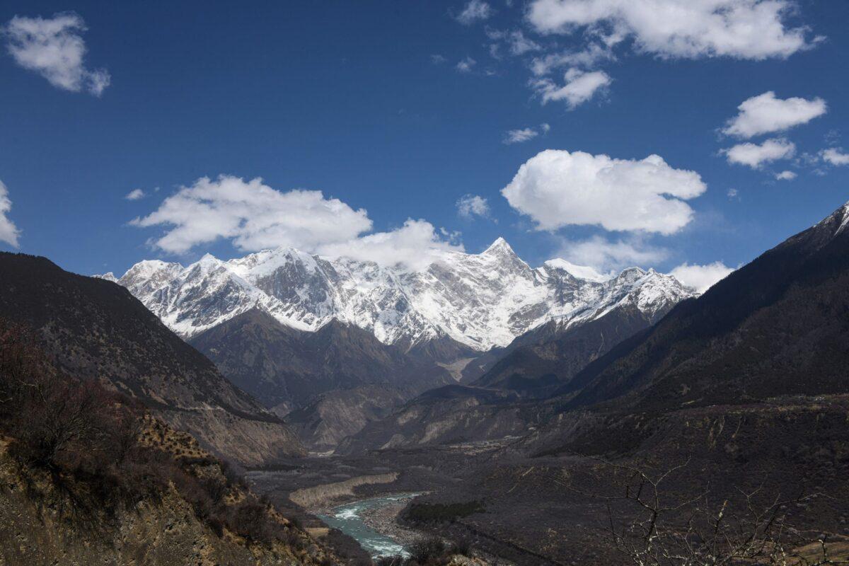
In December 2024, Beijing approved a plan to build the world’s largest hydropower dam on the lower reaches of the Yarlung Tsangpo (or Yarlung Zangbo) River in Tibet, with a power generation capacity more than three times that of the Three Gorges Dam, currently the world’s largest hydropower plant. The project has sparked fears of damage to local ecosystems, including to downstream India and Bangladesh.
The planned mega dam is located in the Qinghai-Tibet Plateau, adjacent to Nepal and northern India, which is also an earthquake-prone zone due to the collision of the Indian and Eurasian tectonic plates.Among rivers originating in the Tibetan plateau, some flow east to China, while others flow south to Southeast Asian and South Asian countries and are the main sources of water for these regions.
Building dams, especially mega dams in Tibet on the upper stream of transnational rivers, endangers the ecological system of China and its southern neighboring countries and can damage the local and global environment, Wang said.

“First, the water that people need to survive is controlled [by the Chinese regime]. The amount of water flowing downstream will be reduced overall, the seasonal distribution of water flow will be changed, and the risk of floods and droughts will increase,” Wang said of the negative impact of the dams.
“In addition, the amount of sediment will decrease, the food for fish will decrease, the organic matter in the water will decrease, and the fertility will decrease, which may cause the land at the estuary to retreat,” he said.
Luo Ya and Reuters contributed to this report.

