
The Hong Kong Observatory may issue the No 1 standby signal on Tuesday as Tropical Cyclone Yagi is expected to enter within 800km (500 miles) of the city.
“Whether a higher Tropical Cyclone Warning Signal to be issued depends on the intensity, circulation size of Yagi and its distance from Hong Kong,” the weather forecaster said on Monday.
The Observatory said it would consider issuing the signal between Tuesday afternoon and night.
It added that Yagi was centred about 190km east of Manila as of 10am and was expected to move north-northwest at about 18km/h (11mph) towards the vicinity of the northern part of Luzon.
It is set to edge closer to the coast of southern China after entering within 800km of Hong Kong on Tuesday.
The forecaster said Yagi had “a higher chance” to move towards the vicinity of the western part of Guangdong and Hainan Island and further intensify.

According to the storm tracker, Yagi will become a typhoon on Thursday, before further strengthening to a severe typhoon and entering within 400km of the city on Friday.
The weather over the coast of Guangdong will deteriorate in the latter part of the week with winds strengthening.
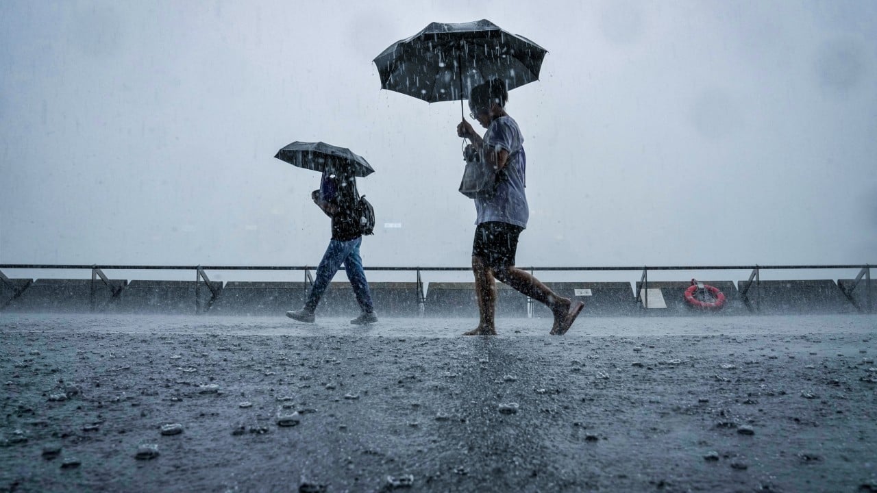
There will be heavy squally showers and swells, with the temperature set to be between 27 and 32 degrees Celsius (89.6 Fahrenheit).
The weather on Monday and Tuesday will be generally fair, with the maximum temperature reaching from 33 to 34 degrees during the day in urban areas. The mercury is expected to be a couple of degrees higher in the New Territories.
There will be a few showers and isolated thunderstorms.
