
Published: 9:20am, 19 Sep 2025Updated: 9:44am, 19 Sep 2025
This story has been made freely available as a public service to our readers. Please consider supporting SCMP’s journalism by subscribing. Hong Kong readers now get 50 per cent off their first year of subscription until September 21, 2025.
Advertisement
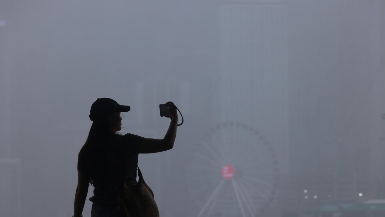
Hong Kong’s weather forecaster has issued the No 3 warning signal as Tropical Storm Mitag approaches the coast of Guangdong, while another back-to-back cyclone is expected to intensify into a super typhoon within the next few days.
The Hong Kong Observatory raised the typhoon signal at 9.20am on Friday, with authorities suspending kindergarten classes and schools for children with physical and intellectual disabilities.
The forecaster said the outer rainbands of Mitag would gradually bring more showers and squalls to the city.
It added showers would be heavy at times on Saturday and that swells were expected.
Advertisement
“Mitag will make landfall over the coast of eastern Guangdong around [Friday] evening,” it said.
“Meanwhile, it will turn to a westerly track, edging closer to the vicinity of the Pearl River Estuary under the influence of the northeast monsoon, skirting about 100km (62 miles_ to the north of Hong Kong.