
Published: 12:41pm, 27 Aug 2025Updated: 12:42pm, 27 Aug 2025
This story has been made freely available as a public service to our readers. Please consider supporting SCMP’s journalism by subscribing. New users who download our updated app get a seven-day free trial.
Advertisement
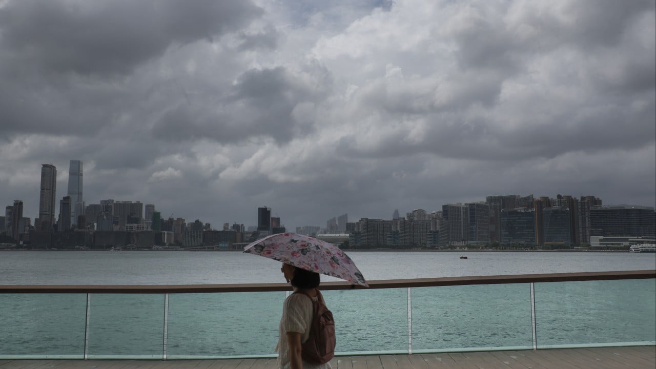
Hong Kong’s weather forecaster has said it may issue a No 1 typhoon warning signal on Wednesday night or Thursday morning, with thunderstorms expected over the next two days.
“The broad area of low pressure to the west of Luzon has entered the central and northern parts of the South China Sea and is developing gradually, but its structure is still loose,” the Hong Kong Observatory said on Wednesday.
“If [it] further develops into a tropical cyclone between [Wednesday night] and [Thursday morning], the Observatory will consider issuing the No 1 typhoon signal by then.”
According to the forecaster, the weather on Thursday and Friday is expected to be windy with showers and thunderstorms, due to the combined effect of the low-pressure system and the high-pressure ridge over southeastern China.
Advertisement
“Members of the public should take note of the latest weather information from the Observatory, stay away from the shoreline and not engage in water sports,” it said.